
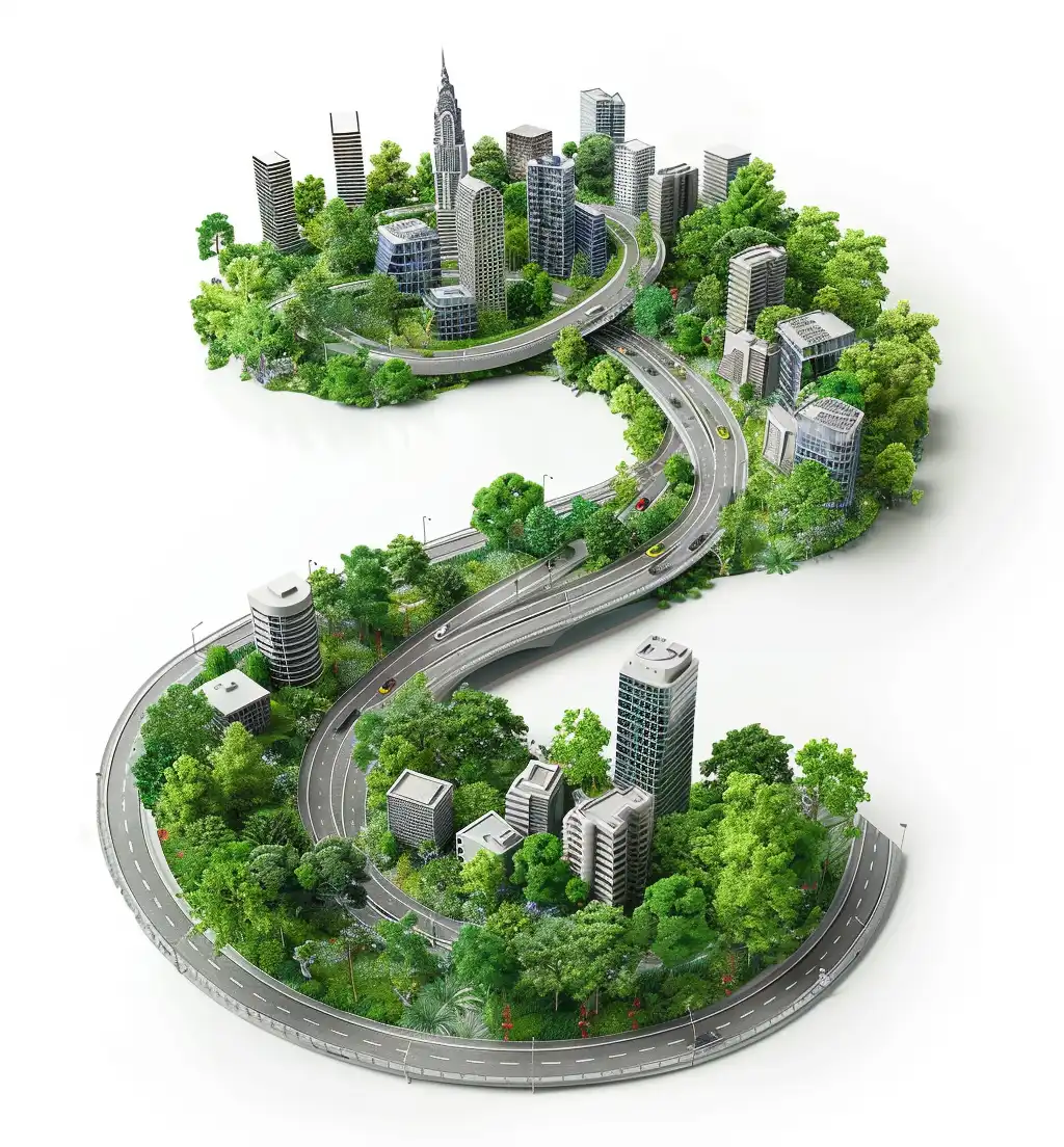
Excel Green utilizes geospatial mapping technology to support sustainable urban development initiatives transportation and utility. From land use planning and zoning to infrastructure development, sustainable transportation and other attributes like urban utilities, our geospatial mapping services help clients make informed decisions that promote sustainable and resilient communities.